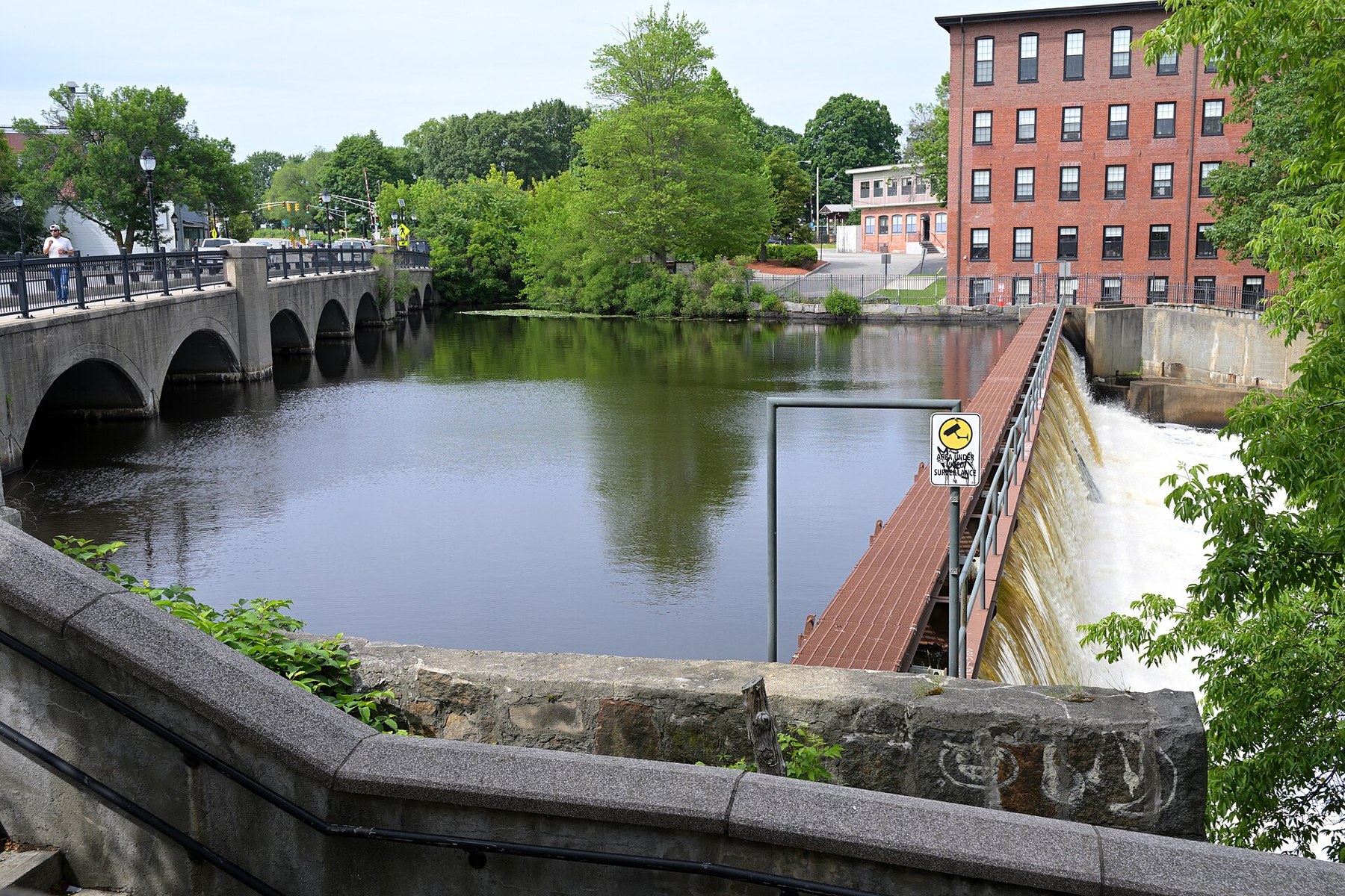
Moody Street Dam and riverside mill buildings in Waltham (2025-06-15 15:27:05)

Outdoors

Snow play and winter sports near Waltham

Places near Waltham for sledding, snowshoeing, cross-country skiing and winter sports when there’s snow.

13places for snow and winter sports
11 mito the closest
3within 30 miles

Good to know: Carry tire chains in winter, check road and avalanche conditions, and expect parking or Sno-Park permits at popular spots.

Closest picks

1

Assabet River National Wildlife Refuge

11 mi west · Fish and Wildlife Service

to Assabet River National Wildlife Refuge! Located in the towns of Sudbury, Stow, Maynard and Hudson, and just 20 miles west of Boston, Assabet River NWR is one of eight national wildlife refuges that comprise the Eastern Massachusetts…
2

Oxbow National Wildlife Refuge

21 mi west · Fish and Wildlife Service

Oxbow National Wildlife Refuge, is one of the eight refuges that make up the Eastern Massachusetts National Wildlife Refuge Complex.

3

West Hill Park

27 mi southwest · US Army Corps of Engineers

On a quiet back road and across an old fieldstone bridge lies West Hill Park, where the West River widens to form a large, natural pool.

Map of all 13 places

Map of 13 places loads as you scroll.

Within 30 miles (3)

11 mi west · Fish and Wildlife Service

Assabet River National Wildlife Refuge

to Assabet River National Wildlife Refuge! Located in the towns of Sudbury, Stow, Maynard and Hudson, and just 20 miles west of Boston, Assabet River NWR is one of eight national wildlife refuges that comprise the Eastern Massachusetts…

  • Biking
  • Birding
  • Cross Country Skiing
  • Fishing
  • Hiking
  • Hunting
  • Photography
  • Snowshoeing

21 mi west · Fish and Wildlife Service

Oxbow National Wildlife Refuge

Oxbow National Wildlife Refuge, is one of the eight refuges that make up the Eastern Massachusetts National Wildlife Refuge Complex.

  • Birding
  • Boating
  • Cross Country Skiing
  • Fishing
  • Hiking
  • Hunting
  • Non-Motorized Boating
  • Photography

27 mi southwest · US Army Corps of Engineers · Campground

West Hill Park

On a quiet back road and across an old fieldstone bridge lies West Hill Park, where the West River widens to form a large, natural pool.

  • Biking
  • Boating
  • Camping
  • Fishing
  • Hiking
  • Hunting
  • Ranger programs
  • Swimming

30 to 75 miles (7)

38 mi southwest · US Army Corps of Engineers

Hodges Village Dam

Canoe launch and parking areas provide access to the French River above and below the dam. Over 15 miles of trails are maintained.

  • Camping
  • Nature education
  • Picnicking
  • Wildlife viewing
  • Winter sports

39 mi southwest · US Army Corps of Engineers · Campground

Buffumville Lake (Group Shelter)

In 1958 the U.S. Army Corps of Engineers built Buffumville Dam in Charlton, Massachusetts to provide flood risk management for downstream communities.

  • Birding
  • Boating
  • Camping
  • Disc Golf
  • Fishing
  • Guided Interpretive Walks
  • Hiking
  • Hunting

47 mi northwest · Fish and Wildlife Service

Wapack National Wildlife Refuge

Wapack National Wildlife Refuge, established in 1972 through a donation from Laurence and Lorna Marshall, was New Hampshire's first refuge. The refuge is located about 20 miles west of Nashua, New Hampshire and encompasses the 2,278 ft.

  • Birding
  • Hiking
  • Photography
  • Snowshoeing
  • Wildlife viewing

47 mi southwest · US Army Corps of Engineers · Campground

Westville Recreation Area

Westville Lake is situated on the Quinebaug River in the towns of Southbridge and Sturbridge, Massachusetts.

  • Biking
  • Boating
  • Camping
  • Hiking
  • Winter sports

48 mi west · US Army Corps of Engineers

Birch Hill Dam

This 82-acre natural lake boasts the Lake Dennison Recreation Area, offering picnic areas, hunting, hiking, campgrounds and a swimming beach managed by the Commonwealth of Massachusetts.

  • Boating
  • Nature education
  • Picnicking
  • Water sports
  • Wildlife viewing
  • Winter sports

52 mi northwest · US Army Corps of Engineers

Edward MacDowell Lake

A picturesque recreation area located near Peterborough, this facility is named after the famous composer and concert pianist, Edward Alexander MacDowell. In 1907 his wife, Marian, established the MacDowell Colony for artists.

  • Boating
  • Hiking
  • Nature education
  • Picnicking
  • Water sports
  • Wildlife viewing
  • Winter sports

64 mi northwest · US Army Corps of Engineers · Campground

Otter Brook Lake Recreation Area

Otter Brook Lake Recreation Area is a U.S. Army Corps of Engineers day use facility offering many outdoor recreation opportunities everyone can enjoy. The park is located in Keene and Roxbury, New Hampshire.

  • Birding
  • Boating
  • Camping
  • Canoeing
  • Cross Country Skiing
  • Disc Golf
  • Fishing
  • Hiking

75 miles and farther (3)

88 mi northwest · US Army Corps of Engineers · Campground

Townshend Lake Recreation Area

Townshend Lake is a flood control project operated by the U.S. Army Corps of Engineers, serving communities within the West River Valley, and those downstream.

  • Biking
  • Birding
  • Camping
  • Canoeing
  • Cross Country Skiing
  • Fishing
  • Hiking
  • Kayaking

94 mi northwest · US Army Corps of Engineers · Campground

Stoughton Pond Rec Area

Stoughton Pond Recreation Area is a day use area located to the north of North Springfield Lake. Stoughton Pond is located off State Route 106 on Stoughton Pond Road in Perkinsville, Vermont.

  • Boating
  • Camping
  • Hiking
  • Hunting
  • Swimming
  • Wildlife viewing
  • Winter sports

96 mi northwest · US Army Corps of Engineers · Campground

Winhall Brook Camping Area

Winhall Brook Camping Area is nestled in the Green Mountains of Vermont along Winhall Brook and the West River, seven miles north of Ball Mountain Lake.

  • Biking
  • Birding
  • Camping
  • Cross Country Skiing
  • Evening Programs
  • Fishing
  • Hiking
  • Mountain Biking

Distances are straight-line miles from the center of Waltham. Listings come from Recreation.gov’s federal recreation database; check each official page for hours, fees, fire restrictions and closures before you go.

Get outside around Waltham

Why Waltham is the Watch City video thumbnail

THINGS TO DO · YOUTUBE SHORT

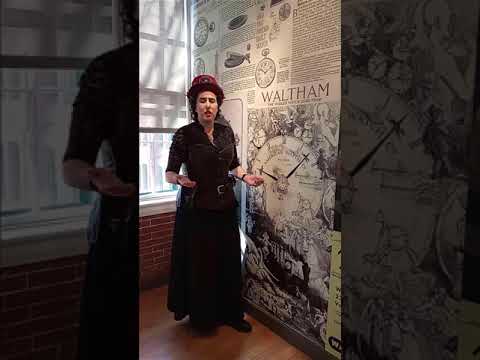
Why Waltham is the Watch City

A costumed guide from the Watch City Steampunk Festival explains how the Waltham Watch Company gave the city its nickname.

Watch on YouTube ↗

More outdoors near Waltham

Questions

Where is the closest place for snow play near Waltham?

Assabet River National Wildlife Refuge (Fish and Wildlife Service), about 11 miles west of Waltham as the crow flies. Next are Oxbow National Wildlife Refuge (21 mi) and West Hill Park (27 mi).

Who manages these places?

Federal agencies including US Army Corps of Engineers, Fish and Wildlife Service. Each listing links to its official page for hours, fees, closures and current conditions.

Waltham AI

Your Waltham local guide
Hey there!

I'm Waltham AI. Ask about neighborhood food, independent shops, local history or planning a visit.

AI recommendations may be inaccurate. Verify hours and prices. Questions are processed by Cloudflare. Privacy